Implementing AI-assisted Aerial Surveys for Waterbird Population Monitoring on the Texas Gulf Coast

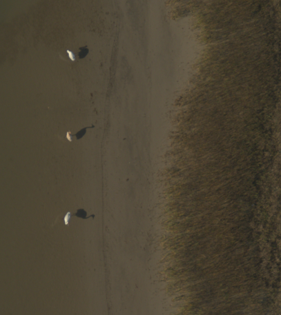
In 2024, we expanded our partnership with US Fish and Wildlife to work with the Migratory Birds Branch on implementing an AI-assisted aerial survey framework for whooping crane and waterfowl monitoring on the Texas Gulf Coast. While we develop population estimates from the aerial imaging surveys, I am also investigating...
How can we implement an AI-assisted survey framework across the National Wildlife Refuge System?
- Understanding impacts of image quality on taxonomic resolution: what can we feasibly identify?
- Assessing required sampling effort to inform platform and sensor selection