UNM Campus UAS Mapping
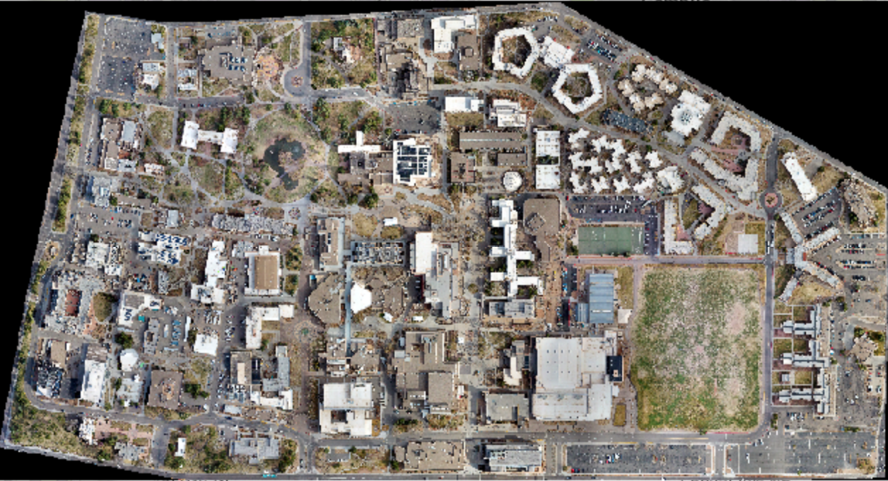
In March 2021, I collected 2.5cm resolution RGB imagery of the UNM campus using a DJI Mavic Pro 2. The imagery was post-processed in Agisoft Metashape Professional to produce an orthomosaic and digital surface model. The orthomosaic can be viewed online at ASPIRE's web data portal; both products are available for public use upon request of the lab manager.