Rio Chama LiDAR
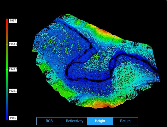
In October 2022, I returned to a lower section of the Rio Chama known as "Big Bend" to collect LiDAR and high-resolution RGB imagery for our collaborators to use to assess changes to the channel in this area since the collection of baseline data in 2017. The first flight used a Zenmuse L1 sensor for LiDAR collection (with simultaneous RGB imaging for point cloud colorization), with a point cloud density of 98pts/m2, and a second flight used a Zenmuse P1 sensor for photogrammetric-quality RGB images for the production of an orthomosaic and alternate surface model with a ground sampling distance of 1.3cm/px. The raw data were processed using DJI Terra into the products mentioned; all are available for public use upon request of the ASPIRE lab manager.